David Rumsey Map Collection
Cartography Associates, San Francisco, United States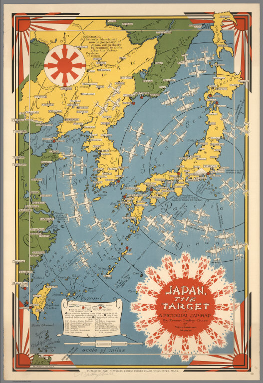
Description  A descriptive note detailing the content and context of the digital collection.
Collection Type Broad terms that define the type of digital collection
Subject Broad terms or phrases that describe, identify, or interpret the digital image collection and what it depicts or expresses. Values were obtained using the Art and Architecture Thesaurus (AAT) by the Getty Research Institute.
Style Period Terms that define the styles, art periods, movements, etc. whose characteristics are represented in digital image collection. Values were obtained using the Art and Architecture Thesaurus (AAT) by the Getty Research Institute
Work Types Terms that identify the kinds of works in the digital collection being described. It typically refers to a work’s physical form, function, or medium in digital image collection. Values were obtained using the Thesaurus For Graphic Materials (TGM) by Library of Congress.
Openness Openness of the digital collection determined using the 4R activities by Wiley (2010).

Allow Reuse, Redistribute, Revise and Remix for educational and non-commercial purposes
Notes on Usage Additional notes on the terms of use on the digital images in the collection.
The maps are licensed under a Creative Commons Attribution-Noncommercial-ShareAlike (CC BY-NC-SA 3.0) license. Images “may be reproduced or transmitted, but not for commercial use“. Citation is required but no format is stated in their terms of use. The images can be cited by including creator, title of image, year of creation, medium, physical dimensions, source and url of image.
e.g. Chase, Ernest Dudley. Japan, the target : a pictorial Jap-map, 1942. Pictorial map, 56 cm x 37 cm. David Rumsey Map Collection. Accessed on July 15, 2015 from http://www.davidrumsey.com/luna/servlet/s/7l5gqc.
For more information on acknowledging images with other citation styles, refer here.
You must be logged in to post a comment.