Typhoon Goni slammed into the Philippines on 1 November 2020, the second in a series of relentless disasters to have struck the region in the span of a week. Just days before, Typhoon Molave had already swept through the same area, leaving devastation in its wake.
Over two thousand kilometers away, rather than watch passively as the disaster unfolded, members of the Disaster Analytics for Society Lab (DASL) of the Asian School of the Environment (ASE) sprang into action. The interdisciplinary team, led by Assistant Professor David Lallemant, specialises in understanding risk and the impacts of disasters on society. One of DASL’s core objectives is to “be useful to communities recovering from, exposed to, or otherwise grappling with the impacts of disasters”, which led the team to think of ways to aid recovery efforts post-Goni.
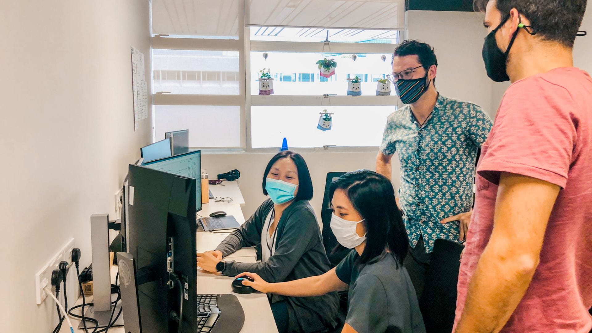
Members of the Disaster Analytics for Society Lab (from left to right): Michele Nguyen, Maricar Rabonza, Assistant Professor David Lallemant, Mariano Balbi (not in picture – Jeanette Choong, Sanjana Tadepalli).
Estimating Damage in the Philippines
Ms Maricar Rabonza, a Ph.D. student with DASL who is also from the Philippines, reached out to other Ph.D. students on the ground, many of whom were part of a network of communications with local stakeholders, like the mayors of affected regions.
The contact proved to be indispensable – those on the ground had the clearest idea of the most important priorities and what information was needed and could be helpful. This helped the DASL team quickly identify tasks that would be useful for local stakeholders who were dealing with the aftermath of Typhoon Goni. One of the main outputs was a first-order damage estimation model.
“The model was built with past typhoons,” explained Mr Balbi. “With it, predictions can be made for this new typhoon.”
The model also required additional data such as the typhoon path, windspeeds, and distance to its first impact on the Philippines.
The idea was that the model could help with estimating disaster impacts, and more specifically, the expected number of houses damaged in the different municipalities.
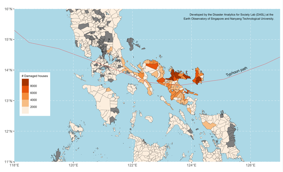
Analysis of Damaged Houses within the Region.
“This specific analysis was done at the municipal level,” Asst Prof Lallemant said. “So, while it doesn’t provide exact detail on where the damaged buildings are, it does give a first order indication of the distribution of damage, which so far seems to match what’s being reported.”
There was also the fact that information was extremely scarce as the situation unfolded. Despite reaching out to local organisations, they had very little time, naturally, to respond to the team, being occupied with organising their own mitigation efforts and activities. It meant that there were long waits involved in getting any Typhoon Goni-related data, which was updated in six-hour intervals. This was made more challenging due to a lack of knowledge on where exactly the typhoon data could be found. Even when such data had been found, time was required to ensure the veracity of the information before feeding it into the model.
Despite these challenges, the team managed to produce a damage prediction model showing the number and proportion of damaged houses on a municipality level. The idea was for this model to inform local stakeholders of their post-disaster resource allocation efforts. The DASL team works extensively on the development of disaster impact models, using novel data and analysis methods, and will continue to do so in the future.
Hosting a Mapathon
Alongside the model, DASL also gathered their resources and hunkered down for a Mapathon, working to map out existing but little-known residential communities in the most affected areas.
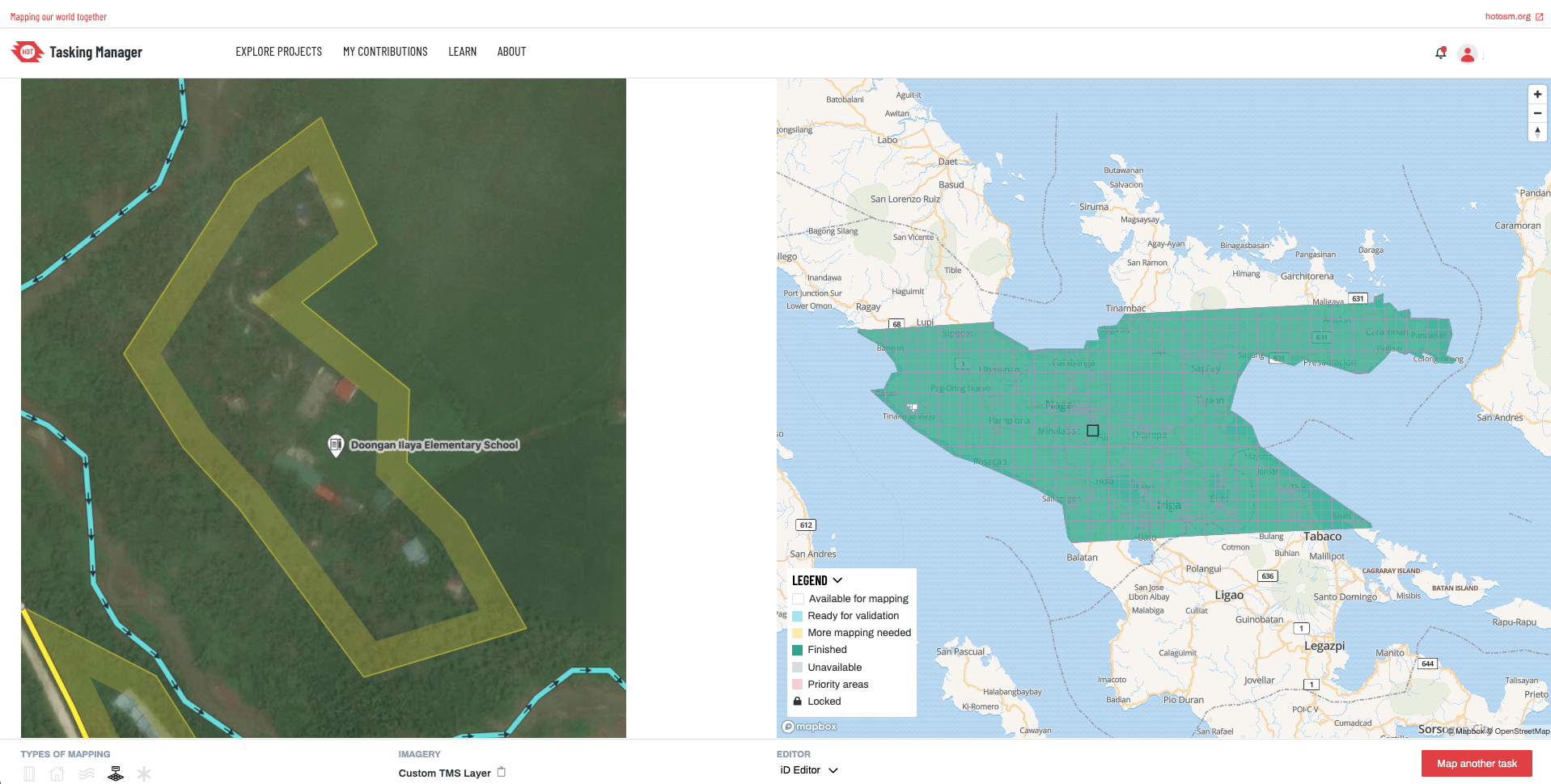
Using OpenStreetMap for the Mapathon.
The team made use of the Humanitarian OpenStreetMap to help map out existing but little-known residential areas in the most affected areas.
Initiated and coordinated by Ms. Rabonza, the mapathon was hosted on the Humanitarian OpenStreetMap (an organisation dedicated to humanitarian action and community development through open mapping) platform. Each volunteer would pick a grid from the area to be mapped, and identify buildings via satellite imagery by tracing polygons over them. Once completed, the mapped polygons (buildings) were automatically shared in an open database, which is accessible by individuals and rescue groups in the Philippines. The mapping tasks were directed by MapBek, a local group of volunteers advocating for LGBTQI+ representation in Openstreetmap, and active in numerous post-disaster mapping efforts.
“This mapping helps the people involved in rescue efforts know that in certain rural areas, there are communities that exist, and this is where they’re located,” Ms. Rabonza said.
Such location data remains one of the most crucial aspects of managing a disaster relief effort – after all, in order to help people, first responders need to know where the people are. Students at the Asian School of the Environment are now coordinating to organize more mapathons to support environmental and humanitarian efforts.
Turning Challenges into Future Work
Of course, not all of DASL’s efforts for Typhoon Goni were obstacle-free.
“It’s very different, monitoring the situation remotely,” admitted Ms. Rabonza. “You have to rely on news articles, and pictures from Facebook friends.”
But such obstacles have not served as deterrents at all – in fact, they’ve almost become a point of pride for DASL, where all the experiences of the project – from communicating with local stakeholders to the mapping process to the modelling of Typhoon Goni’s expected level of damage – have been systematically turned into lessons to be processed, absorbed, and then improved on.
“We’re already in the process of putting together a set of standard operating procedures to identify systematic ways of supporting disaster relief and recovery efforts in Southeast Asia”, said Sanjana Tadepalli, who is a research assistant with DASL.
This new priority, coming from the aftermath of the project, is focused on expanding communications and engagement with local stakeholders – ensuring that the work being done by DASL is not only useful and solicited, but also mindful of the time that local stakeholders involved in the urgent business of mitigating disaster impacts have to spare.
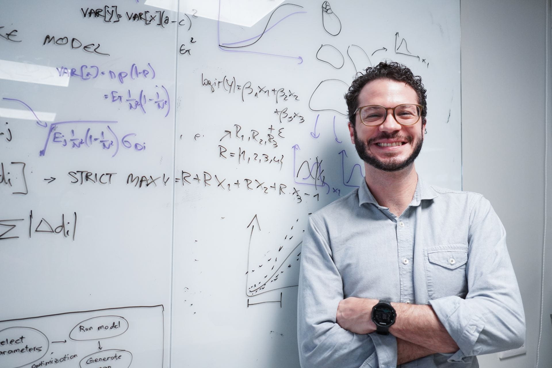
Assistant Professor David Lallemant
“Just doing the research isn’t enough,” said Professor Lallemant. “We want to improve constantly and make the research more understandable and actually useful to stakeholders and the general public.”
Want to donate? Consider giving your support to Mapbek or the Humanitarian Openstreetmap Team, or contribute to one of the many urgent mapping tasks.