
Programs aside, NParks also oversees the construction and development of green infrastructure. In recent years, there is greater focus on increasing the accessibility of green spaces for busy Singaporeans to enjoy the outdoors.
“Did you know that one day you’ll be able to run around the entire island of Singapore, connected via a single path!”
The government has made plans to establish a 150km green trail, known as the ‘Round Island Route’ to connect one island of the another to another via a continuous footpath. This path will be 6 meters wide, an increase from the 4 meters pathways currently being built, so as to accommodate both cyclist and walkers. Construction of this trail begun in 2016 but the finishing date has yet to be announced, so stay tuned!
 Cycling routes to look forward to! Source
This is only possible due to the ingenuity of urban planners at Nparks who developed the Park Connector Network. The Park Connector network consists of cycling, waking and running pavements constructed from spaces which are too narrow for to other uses. These footpaths are lined with trees, shrubs and other types of plants to provide a connecting pathway through different heartland parks, nature areas and existing recreational facilities.
As of 2019, more than 300km of Park connectors have been established and almost 26% of the general public utilize these connectors on a regular basis. Increasing the accessibility of green spaces has provided Singaporeans with more communal spaces for recreation, gathering and exercise which can help to enhance the quality of life of Singaporeans.
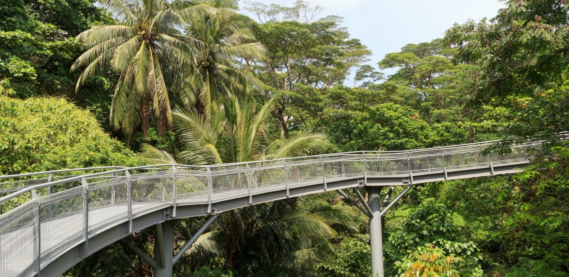
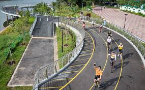
Park connectors that have been built! Image 1;Image 2
These are some of the park connectors that have been built as of 2019. The government is still in the midst of constructing the Central nature loop and the round island loop.
Infographic containing information and highlights about Singapore’s park connectors